
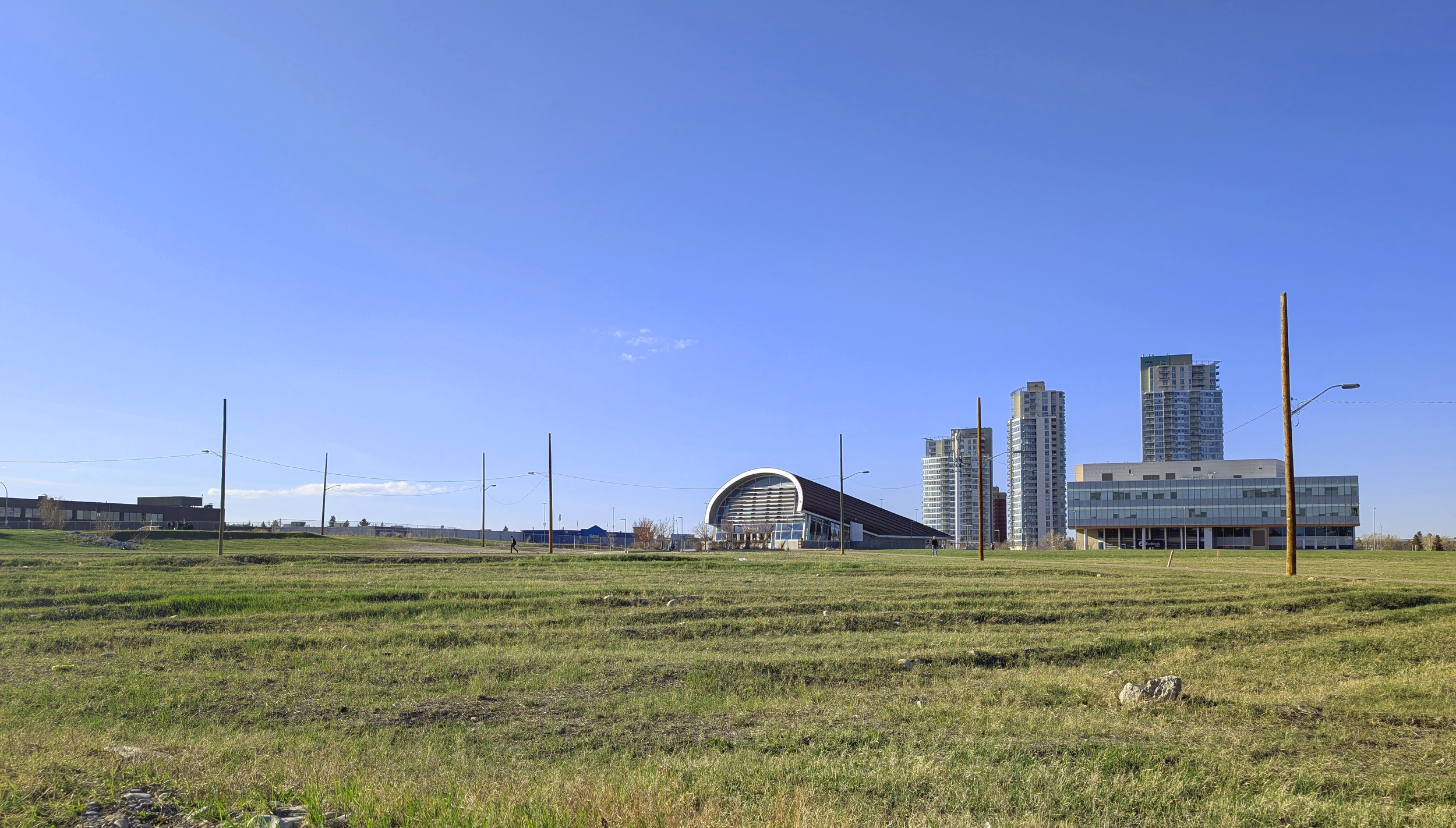
Westbrook Station Area
Be part of what’s next for Westbrook.
Project Overview
We’re planning what comes next for the Westbrook Station area, including housing, a new park, shops, and better connections.
We’re refining a plan for the City-owned land around Westbrook Station to grow into a great place. During the first phase of engagement (see What We Heard Report) the community shared ideas and priorities for the future of the Westbrook Station Area. Using that feedback, the project team has prepared a formal Outline Plan and Land Use Redesignation Application that allows future development for housing, park space and new road connections.
Opportunities to Participate
Join us to learn about the applications and share your feedback.
Open House (Drop-In Format)
Wednesday, November 25
5:30–8:30 p.m.
Drop in to Glendale/Glendale Meadows Community Association, 4500 25 Ave SW
Virtual Presentation
Wednesday, December 2
7:00 p.m.
Please register to attend online:
Online Survey: Coming Soon
Check back here starting November 25 to share your thoughts online.
About the Area
The project site lies at the heart of the broader Westbrook Community. The Westbrook Communities Local Area Plan (LAP) outlines the planning goals for this entire neighbourhood, and the Westbrook Station area will play an integral role in achieving the LAP’s vision.
The Westbrook Station area is an important transit-oriented development opportunity:
The C-Train station is underground.
Improvements were made along 37th Street SW and 17th Avenue SW.
Development is already occurring at the edges.
The site’s size is an asset. There is enough space to easily fit all the building blocks of a great community, from shops to housing to parks and pathways.
There are already a mix of business and public amenities in the area that can support this transformation (grocers, pharmacies, restaurants, parks).
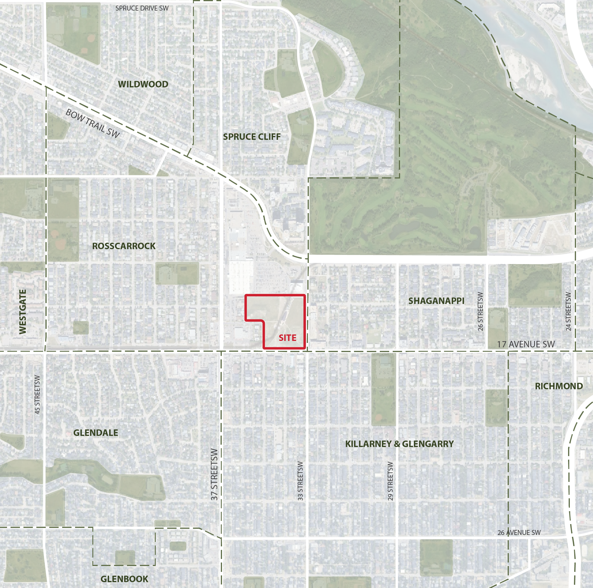
Applications Overview
Two separate applications are required to support implementation of the masterplan. These are an Outline Plan and a Land Use Redesignation Application.
Outline Plan
The proposed Outline Plan establishes the foundation for a transit-oriented development framework that introduces a clear block pattern, internal and public streets, utility alignments and a public park space that enables future development to proceed in an orderly and coordinated manner.
The plan shapes how parcels are formed, how people move through the site and how essential servicing is integrated to support a complete community.
Land Use Redesignation Application
The Land Use Redesignation Application will change the underlying land use for each parcel, ensuring that the regulatory framework is in place to allow for efficient and timely approvals for development applications aligned with the masterplan.
Project Timeline
Masterplan Drafting
Summer 2026
1
2
Phase 2 Engagement
Fall 2026
3
Outline Plan / Land Use Application
Fall 2026 – Spring 2027
4
Phase 3 Engagement (Inform)
Spring 2027
5
Engineering & Infrastructure Construction
2027–2028
6
Land Sales & Development Permits
2028–2029
7
Construction of Buildings
2029–2030
8